Middle Tennessee hits Extreme Drought after six weeks of dry weather
Nashville is down more than 4.5 inches of rain below normal since October 1, and forecasts show little relief coming.
By Tyler Anderson ·
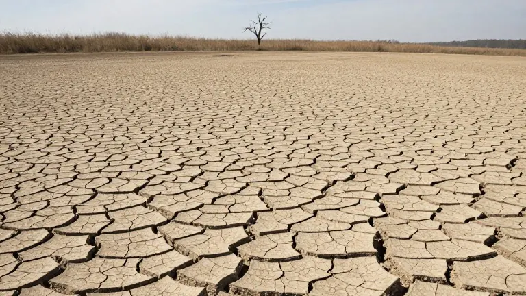
Middle Tennessee has entered Extreme Drought, the second-highest rating on the U.S. Drought Monitor. The shift occurred within weeks as dry weather that started in late September accelerated soil moisture loss across the region.
The deficit is stark. Since October 1, Nashville has recorded under 1.25 inches of rain. That total stands more than 4.5 inches below what is typical for the season, placing the current period among the driest stretches for the area since 1961.
The dry spell follows a normal late-summer rainfall pattern. Once the dry weather set in during mid-to-late September, conditions moved quickly from moderate dryness to high-tier drought classifications. Officials note that this rapid escalation increases wildfire risk and stresses local water supplies.
Residents are advised to watch for local burn bans and water conservation guidance. The extended forecast shows upcoming rain chances will fall far short of the amounts needed to provide meaningful relief to the depleted soil and water systems.
The U.S. Drought Monitor classifies conditions into five categories, with Extreme Drought sitting just below the highest level. The current status reflects persistent short- and long-term rainfall deficits that have not been offset by recent precipitation.
Source: WSMV-TV