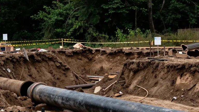
Wing Mountain tornado rated EF1 after felling 80-foot trees near Flagstaff
The National Weather Service confirmed the storm produced winds of 110 mph, marking the first of three tornadoes to strike the region last week.
By Aisha Khan ·
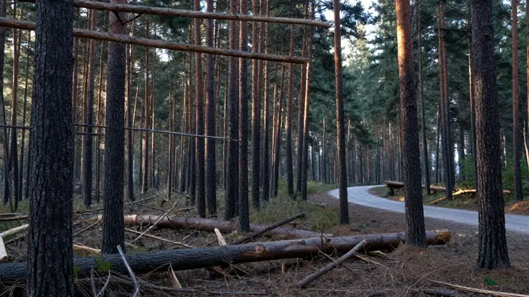
The National Weather Service confirmed that a tornado touched down northwest of Flagstaff last week, producing estimated maximum wind speeds of 110 mph. Meteorologists assigned the event an EF1 rating after a damage survey revealed extensive destruction in the Wing Mountain forest area. This confirmation marks the final of three tornadoes verified in northern Arizona during the recent severe weather event, though it was the first to make landfall.
The storm struck around 5 a.m. on Wednesday and traveled a path exceeding two miles through the forest. The winds were powerful enough to uproot or snap trees standing 80 feet tall. Fallen timber now littered the forest floor, with at least six trees blocking one local road. The U.S. Forest Service faces a substantial cleanup effort to clear these obstacles from public access routes.
Megan Taylor, a warning coordination meteorologist at the National Weather Service office in Flagstaff, explained that the agency had to prioritize resources across multiple simultaneous threats. Severe weather, multiple tornadoes, and flooding occurred in the same region. Taylor stated that the team needed to ensure warning operations were handled first before dispatching staff to the field for the survey.
"The results of our damage survey came out with a rating of an EF1 with maximum estimated wind speeds up to about 110 mph," Taylor said. She added that the complex weather environment required careful triage of staff time. "So we're dealing with multiple threats here, severe weather, tornadoes, a lot of flooding," Taylor said. "So we needed to make sure that we could prioritize our warning operations. And then we were able to get out in the field."
The Wing Mountain tornado path ended approximately one mile from Highway 180, a major route connecting Flagstaff to the Grand Canyon. The damage was confined to forested land. In contrast, the Heber Overgaard community experienced a different trajectory. Taylor noted that the tornado there developed south of the highway and moved north through the populated area. She described that event as a useful visual example of potential damage if a storm had struck a dense residential zone.
The path of the Wing Mountain storm remained entirely within the forest, sparing nearby homes. The survey data collected by the National Weather Service will be used to document the event accurately. Taylor emphasized that these records help the agency refine its forecasting models. "Part of the importance of our damage surveys is to document all of these events as accurately as possible," Taylor said. "And of course, we take all that information and continue to improve our warning services in the future."
Source: KTVK